Actions | Preparatory actions
Preparing and updating maps
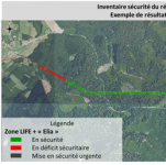
When starting a LIFE project such as this one, it is crucial to begin by taking stock of the initial situation. This should involve recording which lines are in "safe" corridors (i.e. those that are arranged in such a way that a falling tree will not make contact with cables), the existing natural environments and the potential habitats, as well as the managers and owners of the plots concerned, etc.
The quality of operations undertaken during the entire project will depend in part on the quality of the cartographic resources used or created. The accuracy of the calculated space, and therefore the estimate for the cost of the operations, will also depend on the quality of the cartographic documents produced.
The preparatory tasks are to:
- Validate the contours of the map proposed in the application
- Characterise habitats using the EUNIS classification method and the Habitats Directive
- Determine the zones to be protected or restored as a matter of priority
- Locate invasive species and any other significant threats
- Chart elements linked to the hydrological regime of forest corridors (ditches, drainage networks, watercourses, peatlands, etc.)
- Identify cadastral parcels upon which the project has an impact by combining the mapping layers in the GIS (geographic information system).
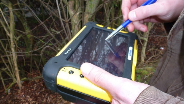
To do this, an initial mapping exercise was undertaken using a synthesis of existing mapping layers.
Next a more detailed mapping exercise will be undertaken on the ground with the aid of a precise GPS, and will be transferred to feed the office's geographic information system.
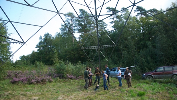
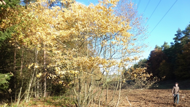
An initial prospecting session happened in the first autumn of the project (September/October 2011) for the 130 km of high voltage power lines affected by the LIFE-ELIA project, before a more detailed session during the first spring of the project (May/June 2012) in order to refine the data recorded during the previous autumn in the growing season.
This means that team members will travel along the lines on foot. Each site will be classified according to how open the corridor is, its current usage, the exposure, nature of the soil, botanical record and opportunities for restoration or development of the natural habitats.
All these data will allow us to go and find the owners of the land where the lines are based, put in place future management plans and quantify and budget for the work to be carried out.